

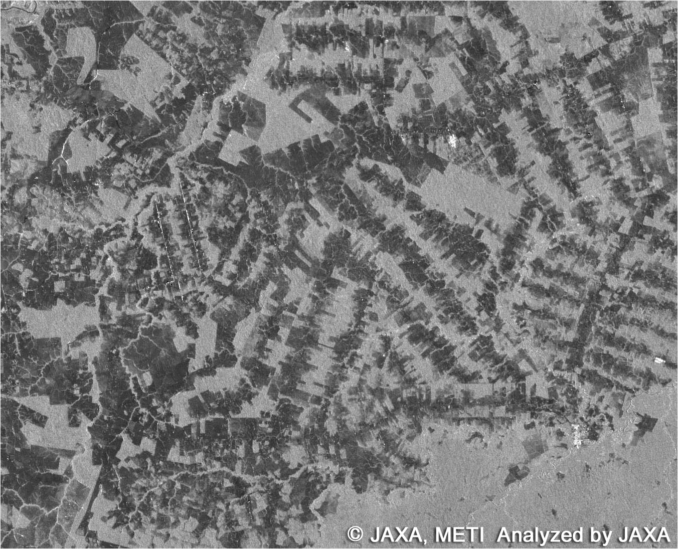
Imagem do sensor Palsar do satélite ALOS mostra em cores escuras as áreas desmatadas em Rondônia. Imagem de abri/2007. Clique sobre a imagem para uma versão ampliada
Leia também : IBGE começa a distribuir imagens do satélite ALOS no Brasil


Replace these every slider sentences with your featured post descriptions.Go to Blogger edit html and find these sentences.Now replace these with your own descriptions.

Replace these every slider sentences with your featured post descriptions.Go to Blogger edit html and find these sentences.Now replace these with your own descriptions.

Replace these every slider sentences with your featured post descriptions.Go to Blogger edit html and find these sentences.Now replace these with your own descriptions.


